We collect data, develop computer models, and conduct surveys to better understand the causes and impacts of floods from sea-level rise, and potential solutions.
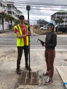
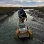
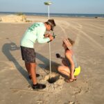
Thomas and Katherine surveying a SuDS in Carolina Beach.
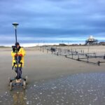
NC-DOT Coastal Monitoring Program: Pea Island, NC
We use remote sensing, aerial photography, and computer models to characterize the present and future vulnerability of NC Highway 12.
Modeling the future of developed barrier systems
We develop models to better understand what factors control how barrier systems change shape over decades to centuries, particularly when altered by human activities (development and roadway management)
We develop models to explore what factors impact barrier recovery following outwash events (bay to ocean flows) over many decades.
Morphodynamics at Frying Pan Shoals
We deploy oceanographic sensors and create maps of the seafloor using custom-outfitted jetskis to understand sand movement at the NC capes.
Dune evolution & infragravity waves during collision
We deploy oceanographic sensors and use line-scanning lidar to relate wave-by-wave impacts to dune erosion during storms.
Storm impacts and beach recovery at Masonboro Island
We use stereo cameras and in situ sensors to monitor storm impacts and beach recovery on remote barrier islands.
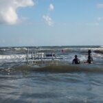
Stereo cameras at Masonboro Island, NC
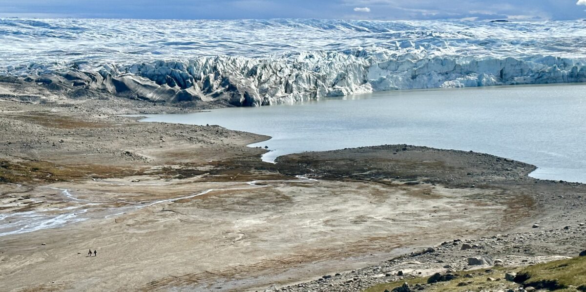
West Greenland: Source to Sink
We assess sediment delivery on delta growth patterns by using satellite imagery and field observation.
Geomorphology is fun.
Past Projects
Ian Reeves retrieving the MeasuringOverwash (MeOw) sensors from the Virginia Coastal Reserve – CECL at UNC
Mechanisms for dune recovery along the North Carolina Outer Banks – Coastal Environmental Change Lab at UNC
Wallops Island Munitions Mobility Study – Puleo Group (University of Delaware)
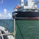
Measurement of prop wash and sediment suspension in Corpus Christi Bay – Coastal Engineering Lab at TAMU
Measurement of ship wakes and sediment suspension proximate to dredge spoils in Galveston Bay – Coastal Engineering Lab at TAMU
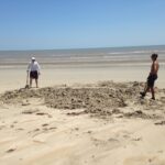
Dr. Anarde and Mick Prouse surveying a buried monitoring well after Hurricane Harvey
Dr. Figlus (TAMU) and Mick Prouse searching for lost sensors
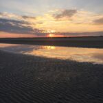
Texas sun and ridge-runnel post Hurricane Harvey (2017)
Surf zone hydrodynamics during winter cold fronts in Texas – Coastal Engineering Lab at TAMU