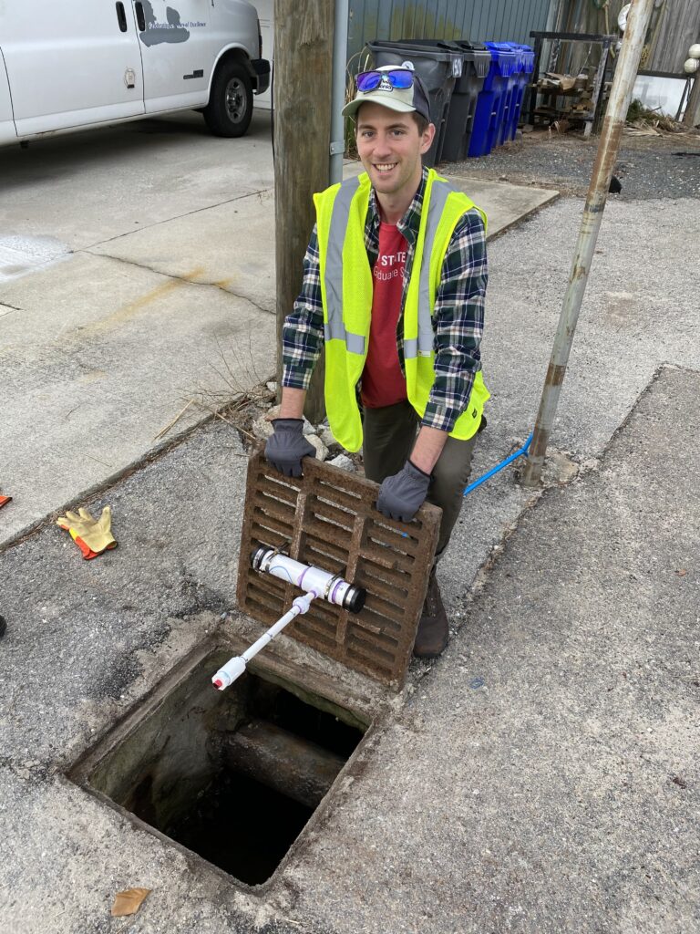
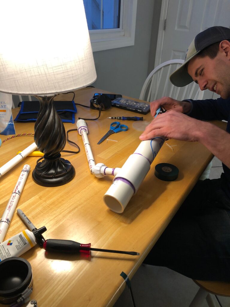
We are a group of researchers from the University of North Carolina at Chapel Hill and North Carolina State University that are working with local communities to measure, model, and better understand the causes and impacts of chronic flooding in coastal North Carolina.
As local sea-level rise, land subsidence, and development continue to increase in coastal areas, so does the frequency of flooding along low-lying roadways. The tidal cycle now takes place on higher average sea levels, resulting in “sunny day” flooding of roadways during high tides. Sea water also infiltrates stormwater drainage systems at normal tidal levels, such that ordinary rainstorms lead to flooding. While these minor floods draw less attention than catastrophic storms, their high frequency imposes a chronic stress on coastal communities and economies by disrupting critical infrastructure services.
CHAZ Representatives: Dr. Katherine Anarde & Thomas Thelen
Learn more about this project and check out our live water level data stream at the links below:
- https://sunnydayflood.apps.cloudapps.unc.edu/
- https://tarheels.live/sunnydayflood/